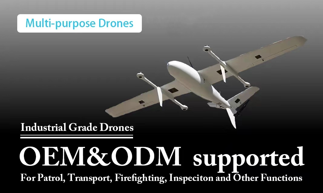
An automated satellite following system for UAV fire fighting can greatly improve the efficiency and effectiveness of firefighting efforts. Such a system would involve equipping a UAV with GPS and other sensors that allow it to track the location and movement of a fire.
The satellite following system would use this data to guide the UAV to the most effective location for firefighting. This could involve directing the UAV to drop water or fire retardant on the hottest and most active areas of the fire, or to fly ahead of the fire to create a firebreak.
The system could also use real-time weather data to predict the movement of the fire and adjust the UAV's flight path accordingly. This would ensure that the UAV is always in the right place at the right time to have the greatest impact on the fire.
To make the system fully automated, the UAV would need to be equipped with sophisticated onboard software that allows it to make decisions about where to fly and what actions to take based on the data it receives from the satellite following system. The system would also need to be designed to be highly reliable and resilient, so that it can continue to operate even in challenging environmental conditions.
Overall, an automated satellite following system for UAV fire fighting has the potential to significantly improve the speed and effectiveness of firefighting efforts, reducing the risk of property damage and loss of life caused by wildfires.

